
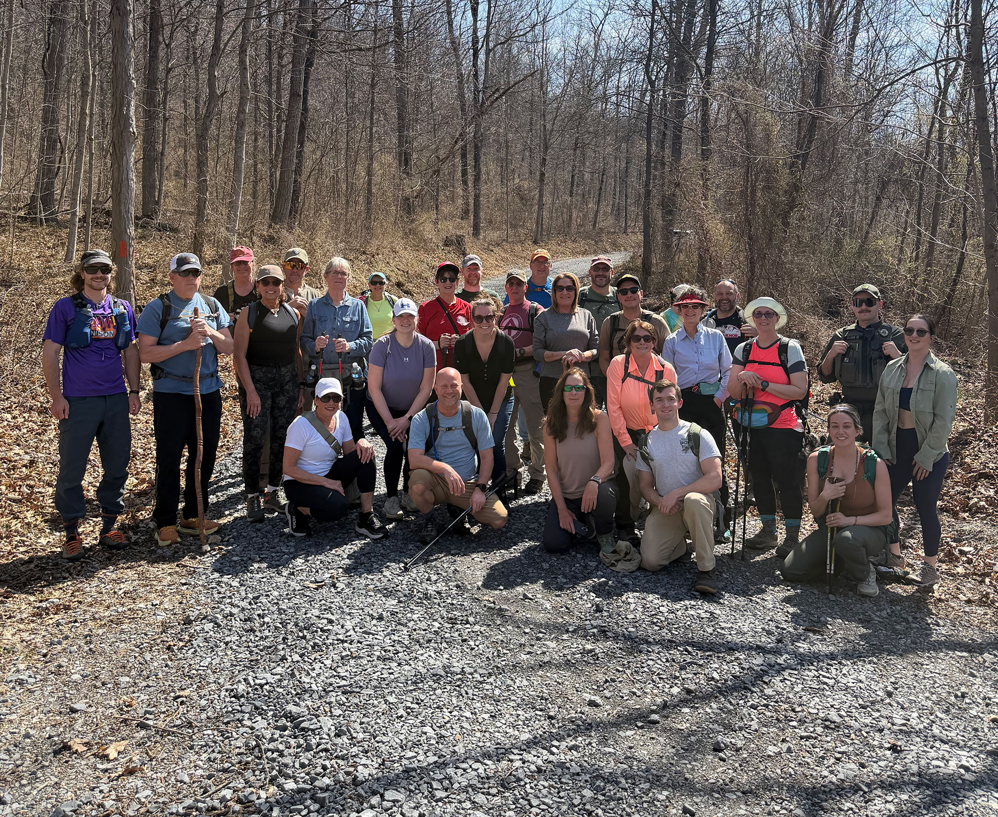
The Bedford County Hiking Club is kicking off in March 2026, bringing together local hikers to get outside and explore the Mid State Trail, our region’s most iconic trail. The group meets on the fourth Sunday of each month at the Bedford County Visitors Bureau. Registration is required, and the dates to join and sign up are listed below. Additional details will be communicated a week before each individual hiking date. Join us and help build community through hiking, and enjoy the wild, scenic landscapes right in our own backyard. Questions? Email: [email protected]
Next Friends of Hike is on May 13, and the hike will be on the Sawmill and Homestead trails. It will be about 4 miles in length. We will be exploring an area that recently had a controlled burn. To learn more, visit Friends of Blue Knob and Shawnee.
Weekend Hikes: Plan to arrive between 12:45 and 1 p.m. Cars will leave promptly at 1 p.m. for the day’s hike.
Weekday Hikes: – arrive between 5:15 and 5:30 p.m. Cars will leave promptly at 5:30 p.m. for the weekday hikes.
What to Bring: Hikers are encouraged to come prepared with appropriate footwear, snacks, and water. Trekking poles are optional; bring them if you have them, and a limited number will be available to borrow.
Your Guides: Tony Barr, Mid State Trail Everett Region Manager, Jason Graham, Bedford County Development Association Outdoor Recreation Coordinator, and Haley Feaster, Keystone Trails Association. Each guide is certified in Wilderness First Aid.
Trail Details:
5-Mile Moderate Hike – Mid State Trail Section 2
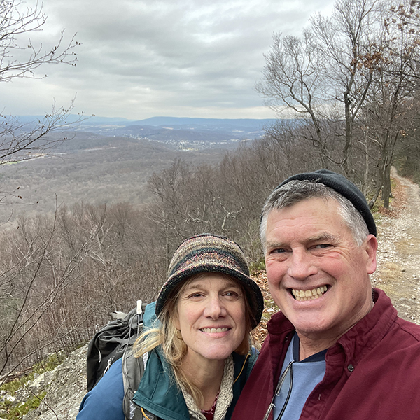
Description: This 5-mile out-and-back hike on the Mid State Trail offers a rewarding climb with about 600 feet of elevation gain. Starting at Ott Town Road, the route follows a grassy access road for one mile up to the ridgeline, then continues out and back along the Tussey Mountain Ridge.
Hikers are treated to unique rock formations and excellent views, especially when the trees are leafless. An optional group dinner to follow at The Union in Everett.
Dinner: The Union
Description: This 6.5-mile point-to-point hike explores Section 1 of the Mid State Trail, traveling from Beans Cove Road to the Garlic Trail at Route 326. The trailhead is a 40-minute one-way drive, making this a true out-of-area adventure. The route climbs to Martin Hill, the highest point on the Mid State Trail, and passes through the scenic Sweet Root Natural Area.
With 1,100 feet of climbing and 1,100 feet of descending, this hike is more difficult than the mileage suggests. Expect sustained climbs, steep descents, and rugged footing, making it best suited for experienced hikers prepared for a challenging but rewarding trek through classic central Pennsylvania terrain.
Dinner: Mike’s Place (taking orders for picnic upon finish)
May 13 – 6 PM, Meet at Willow Springs Picnic Area in Blue Knob.
The May 13 hike will be on the Sawmill and Homestead trails. It will be about 4 miles in length. We will be exploring an area that recently had a controlled burn.
4.2-Mile Easy to Moderate Hike – Mid State Trail Section 4
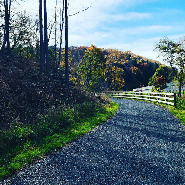
Description: After a 24-minute caravan drive to just north of Loysburg, this 4.2-mile hike explores Section 4of the Mid State Trail. The route follows the scenic Maple Run, offering a peaceful walk alongside flowing water and shaded forest, all with minimal elevation gain, making it an easy-to-moderate hike.
4.2-Mile Easy to Moderate Hike – Mid State Trail Section 4
Description: After a 24-minute caravan drive to just north of Loysburg, this 4.2-mile hike explores Section 4of the Mid State Trail. The route follows the scenic Maple Run, offering a peaceful walk alongside flowing water and shaded forest, all with minimal elevation gain, making it an easy-to-moderate hike.
Dinner: New Frontier
4.5-Mile Family Friendly– Mid State Trail Section3 Hike
Description: After carpooling from Discover Bedford to the trailhead, this 4.5-mile point-to-point family-friendly hike travels along the Mid State Trail from the historic Civil War Trenches to Point 36. With 807 feet of elevation, the route follows mostly gated Game Commission roads, making it a family-friendly adventure through peaceful woodland scenery steeped in history.
4.5-Mile Family Friendly– Mid State Trail Section 3 Hike
Description: After carpooling from Discover Bedford to the trailhead, this 4.5-mile point-to-point family-friendly hike travels along the Mid State Trail from the historic Civil War Trenches to Point 36. With 807 feet of elevation, the route follows mostly gated Game Commission roads, making it a family-friendly adventure through peaceful woodland scenery steeped in history.
Dinner: TBD
3.6 Mile Family Friendly– Mid State Trail Section 4 Hike
Description: After carpooling from Discover Bedford to the trailhead, this 3.6-mile out-and-back hike travels the Mid State Trail between Maple Run Road and Old Henrietta Mountain Road. Relatively flat and mostly on gated Game Commission roads, this is a peaceful, family-friendly walk through shaded woodland with minimal elevation challenge.
Dinner: TBD
4-Mile Extremely Difficult Hike – Mid State Trail Section 3
Description: After carpooling from Discover Bedford to the trailhead, this 4-mile out-and-back hike on the Mid State Trail’s Blue Triangle route heading north is not for the faint of heart. With a punishing 650 feet of combined ascent and descent, the trail climbs an extremely steep grade before reaching a rugged ridgetop riddled with treacherous rock traverses. Only experienced and sure-footed hikers should attempt this one.
4-Mile Moderate to Difficult Hike – Mid State Trail Section 1
Description: After carpooling from Discover Bedford to the trailhead, this 4-mile out-and-back hike on the Mid State Trail heads north from Bennett Lane, taking on a fairly stiff 1,000 feet of combined ascent and descent through forested terrain. A solid challenge for those looking to push themselves a bit on the trail.
Dinner: TBD
4-Mile Moderate to Difficult Hike – Mid State Trail Section 3
Description: After carpooling from Discover Bedford to the trailhead, this 4-mile out-and-back hike on the Mid State Trail begins at the historic Civil War Trenches and heads south towards Dunkard Path. The hike opens with a relatively easy stretch before tackling a stiff climb to the ridgetop, where the trail levels out and rewards hikers with a more relaxed walk along the ridge. With 405 feet of total elevation change, this is a satisfying hike with a nice variety of terrain throughout.
Dinner: TBD
4-Mile Moderate to Difficult Hike – Mid State Trail Section 1
Description: After carpooling from Discover Bedford to the trailhead, this 4-mile out-and-back hike on the Mid State Trail begins at Beans Cove Road and climbs to Martin Hill. The first mile eases you in with a manageable uphill grade before the second mile ramps up with a pretty steep ascent to the top. The return mirrors the route back down, finishing with 800 feet of combined ascent and descent. Fairly stiff and challenging, but the beauty of the trail makes every step worth it.
Dinner: TBD


"*" indicates required fields

Whether you’re escaping for a cozy weekend, planning a family adventure, or looking to recharge at a relaxing resort, Bedford County offers the perfect backdrop for a refreshing winter getaway.
Stay in one of our charming inns, mountainside lodges, cozy b&bs, modern hotels, or relaxing resorts.